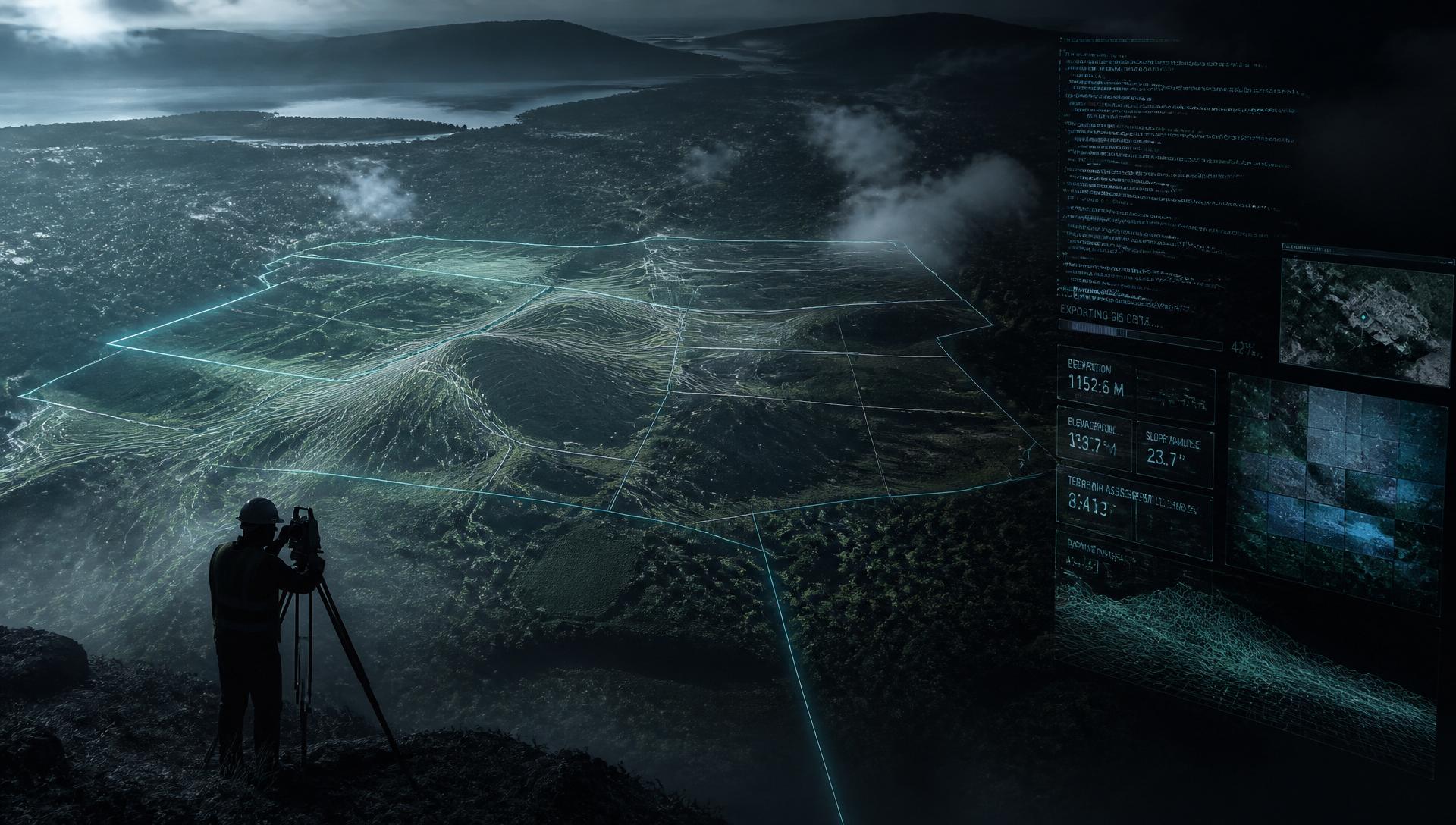
 Visualizing Spaces. Elevating Value.
Engineering the future through geospatial intelligence & software innovation.
TerraVisuals engineers intelligent geospatial solutions and digital systems that transform how organizations manage land, infrastructure, and information.
Our divisions
Two engineering disciplines. One integrated practice.
Division 01
Geospatial Engineering
GIS development, surveying, drone mapping, remote sensing, land valuation, and spatial analysis for land, infrastructure, and resource management.
- GIS
- Surveying
- Drone Mapping
- Remote Sensing
- Land Valuation
- Spatial Analysis
Division 02
Software Development
School ERP, land valuation systems, custom business software, mobile apps, APIs, and AI solutions engineered for reliability at scale.
- School ERP
- Land Valuation System
- Custom Business Systems
- Mobile Apps
- APIs
- AI Solutions
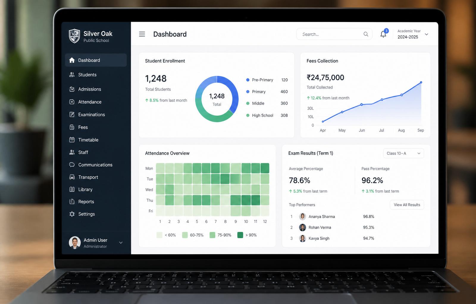
Sacred Heart School ERP
A complete school management platform that unifies students, fees, exams, attendance, timetabling, and parent communication in one secure, role-based system.
Manual records, scattered fee tracking, and slow parent–school communication.
Cloud-based ERP with role-based access, automated reports, and parent SMS notifications.
React, TypeScript, PostgreSQL, secure authentication, SMS & M-Pesa integrations.
Faster admissions, real-time fee visibility, and a single source of truth for the school.
“The platform replaced three disconnected systems and gave us visibility we never had before.” — School Administrator
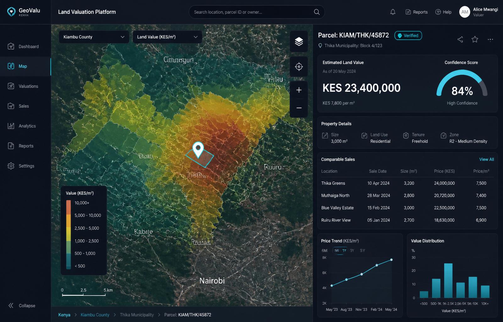
Land Valuation Platform
A spatial valuation engine that combines GIS, comparable sales, and market models to produce defensible land and property valuations in seconds — built for valuers, banks, and developers.
Parcel-level value modeling powered by satellite, county data, and a continuously learning market index.
Cuts valuation turnaround from days to minutes; transparent confidence scores; export-ready reports.
Search a parcel, view value heatmaps, inspect comparables, and download a draft valuation report.
Our vision
“To become Africa's leading developer of intelligent software and geospatial technologies that transform education, land administration, property valuation, and digital governance.”